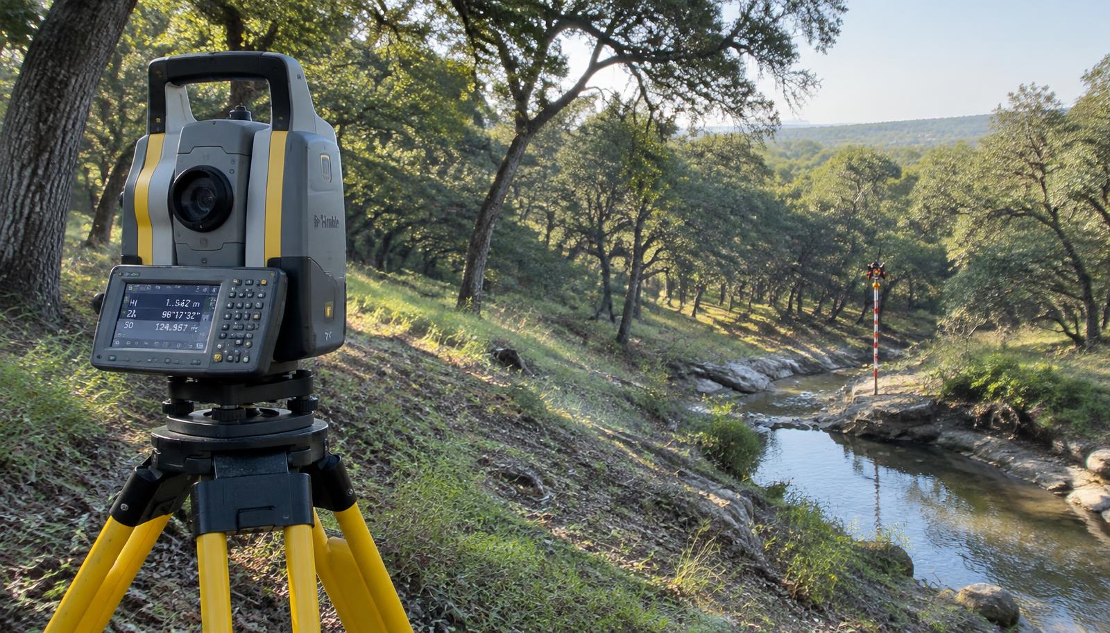
Services · Topographic
Topographic Surveys
in Central Texas
Accurate ground data for engineers, architects and builders. Serving College Station, Waco, Conroe, Huntsville and the Brazos Valley.
- Licensed RPLS
- Typically 10–15 business days
- Free quote in 1 day
What is a topographic survey?
Accurate ground data for engineers, architects and builders.
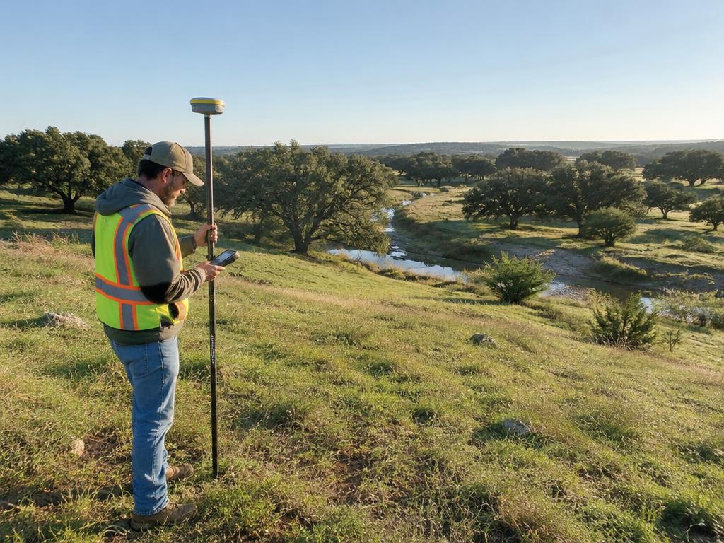
Using robotic total stations and RTK GNSS, we map elevations, contours, drainage, utilities and improvements so your design team works from real-world conditions — not guesswork.
- 1' or 2' contour mapping
- Spot elevations & breaklines
- Trees, utilities & improvements
- CAD-ready surface files
Topographic services
Types of topographic surveys we provide
 Engineers
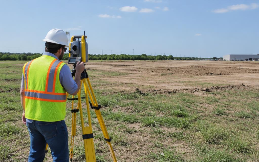
Site Design Topo
Contours, spot grades and breaklines delivered CAD-ready for civil and site design.
Get a quote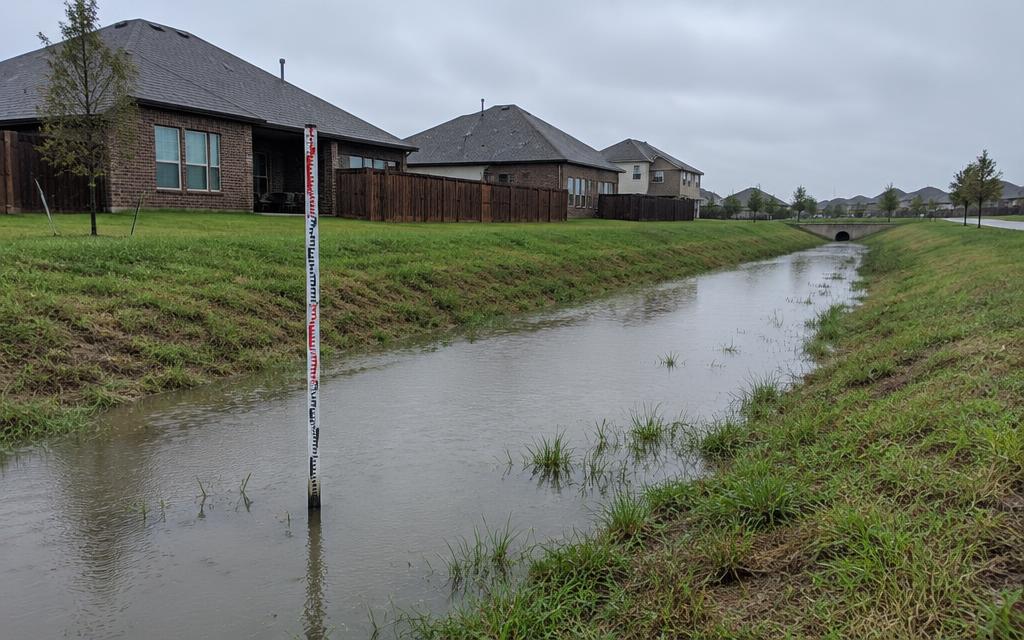 Flow problems
Drainage & Grading Surveys
Ground shots that show where water goes so drainage fixes and grading plans are designed right.
Get a quote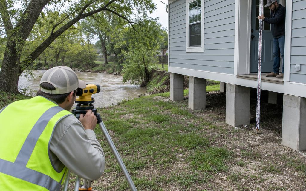 FEMA / flood
Elevation Certificates
FEMA elevation certificates for insurance rating, LOMA requests and lenders in flood zones.
Get a quote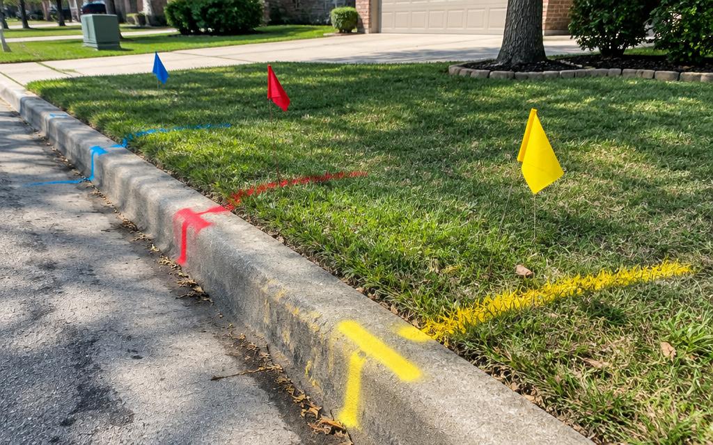 Existing conditions
Utility & Improvement Location
Visible utilities, structures, pavement and trees mapped for remodels and new builds.
Get a quote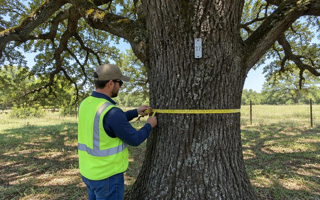 Permitting
Tree Surveys
Tagged trees with species and caliper located for city tree-preservation requirements.
Get a quote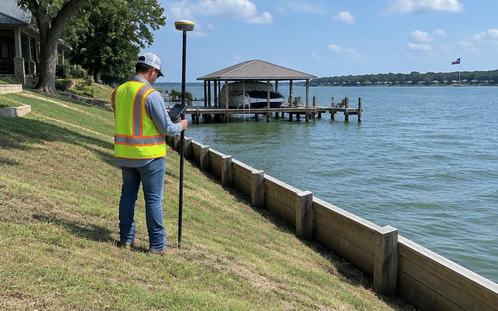 Waterfront
Pond & Lakefront Topo
Shoreline, bulkhead and slope mapping for lake lots and pond construction.
Get a quoteWhy choose SEES
Topographic surveys done right the first time.
- 01
Records researched first
Deeds, plats and adjoiners pulled from the county before a crew ever rolls.
- 02
Licensed & insured
Every plat is reviewed, signed and sealed by a Registered Professional Land Surveyor.
- 03
One team, start to finish
The people who quote your job run your job. No hand-offs.
- 04
Central Texas local
We know the county records, terrain and title partners from Waco to Conroe.
Licensed in Texas
Licensed, accountable, on record.
Texas RPLS
TBPELS Firm No. 10194867
Regulated by TBPELS
Verify a Texas surveyor's license
Search the state roster to confirm any RPLS or firm is licensed and in good standing.
T-47 Residential Real Property Affidavit
The affidavit sellers sign so an existing survey can be reused at closing when nothing has changed.
FEMA Flood Map Service Center
Look up your property's flood zone and the current Flood Insurance Rate Map panel.
Partner portal
Title company or realtor? Fast-track it.
- Closing-date driven scheduling
- Rush flag for at-risk files
- Upload title commitment & deeds
- Sealed survey sent to your file
Questions
Topographic questions, answered.
Need it fast? Call (254) 716-4664 and tell us your deadline.
Closing soon? Breaking ground?