Process & Equipment
Methodical. Measured. Modern.
The process
Five steps. Zero guesswork.
- 01
Request & quote
Send your address, lot/block and deadline. We confirm scope and pricing within one business day.
- 02
Records research
We pull deeds, plats, title commitments and adjoiner records from the county before a crew rolls.
- 03
Field survey
Crews recover monuments, collect measurements and set corners using survey-grade equipment.
- 04
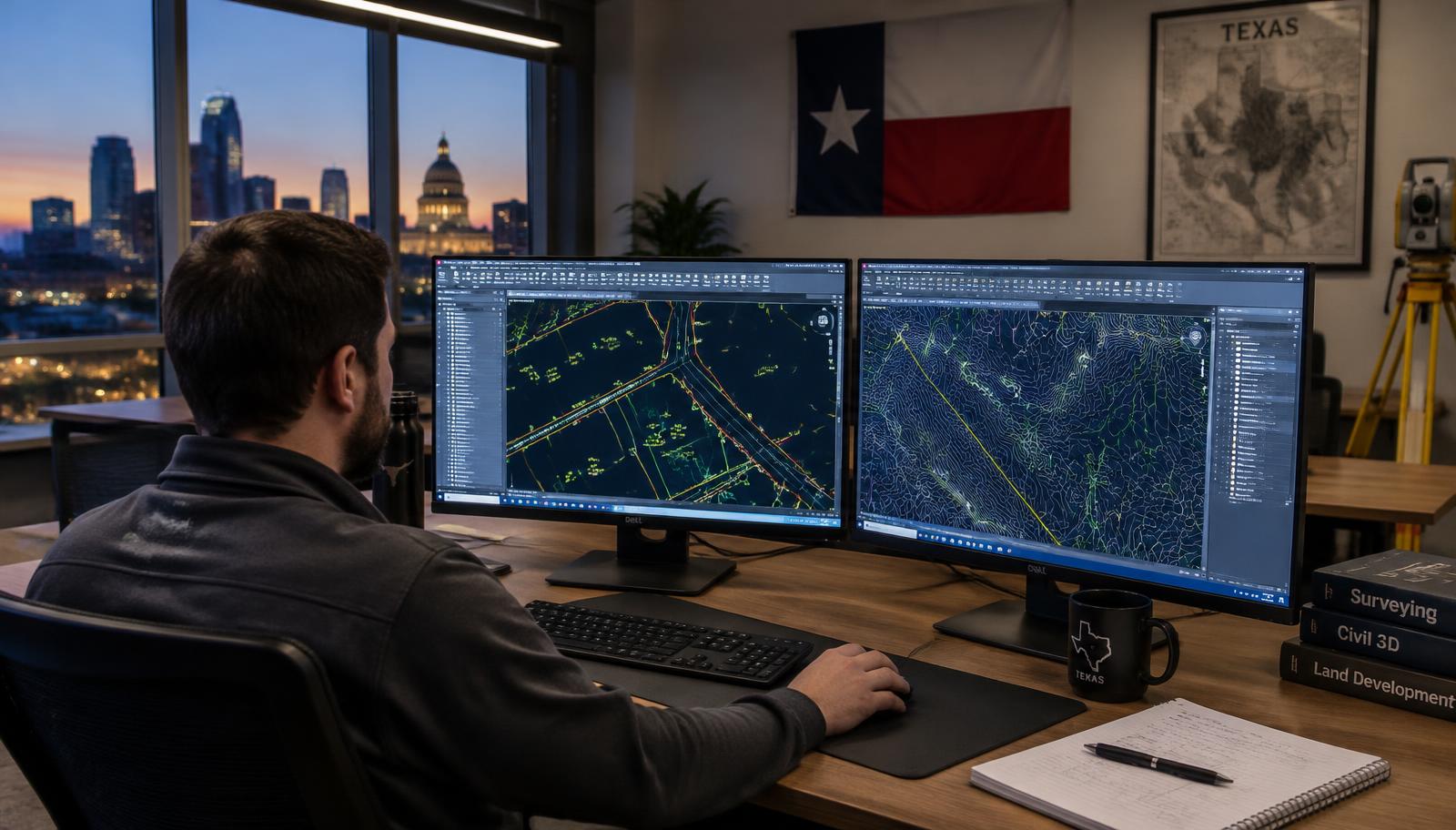
Drafting & QA
CAD technicians draft the plat; a licensed surveyor reviews every line before sealing.
- 05
Sealed delivery
Signed & sealed PDF (and CAD on request) delivered to you, your title company or engineer.
Equipment
Survey-grade technology.
Robotic total stations
One-person, millimeter-grade angle and distance measurement for staking and topo.
RTK GNSS receivers
Real-time centimeter positioning tied to Texas State Plane coordinates.
Drone photogrammetry
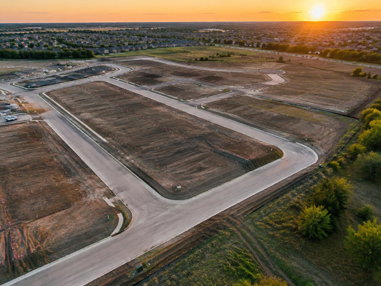
Aerial capture for large tracts, stockpiles and site context.
CAD & data processing
Civil 3D workflows that deliver engineer-ready surfaces and linework.
Closing soon? Breaking ground?