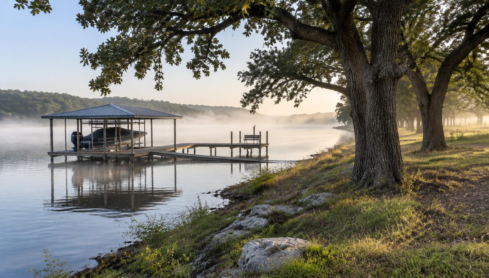
Coverage / Limestone County, TX
Land surveyor in Groesbeck, TX
Rural acreage, ranch partitions and lake properties near Lake Limestone call for careful boundary research and field work.
Surveying Groesbeck & Limestone County
Trusted land surveys for Groesbeck property owners, builders & title companies
Around Groesbeck, most surveys involve land — ranch acreage, family tracts being divided, hunting property and lake lots near Lake Limestone. Those jobs take careful records research and real field time, not a quick drive-by.
SEES traces each tract through Limestone County deed records, recovers old fence-corner monuments and rock mounds where they still exist, and sets new capped iron rods where needed. Every corner is flagged so you can find it.
If you are buying acreage, splitting land among family or building on a lake lot, we give you a clear scope and price up front and stay in touch until the sealed survey is in your hands.
- Licensed Texas RPLS
- Corners set & flagged
- Title-ready deliverables
- Quote in 1 business day
Most requested in Groesbeck
What Limestone County clients hire us for
Ranch & acreage boundaries
Long-line boundary surveys with corners set and flagged through brush and woods.
Family land partitions
Dividing inherited land into clear, recordable tracts.
Lake Limestone lots
Waterfront lot surveys with shoreline and easement call-outs.
Survey services in Groesbeck
Everything we survey in Groesbeck, TX
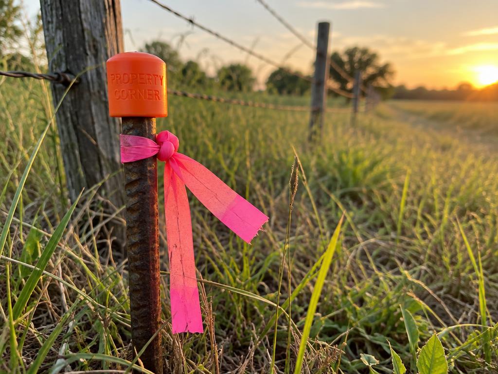 Corners set & flagged
Boundary Surveys
We research deeds, plats and adjoining records, then recover or set corner monuments in the field to establish your true property lines — resolving fence disputes, encroachments and questions before they become legal problems.
Explore Boundary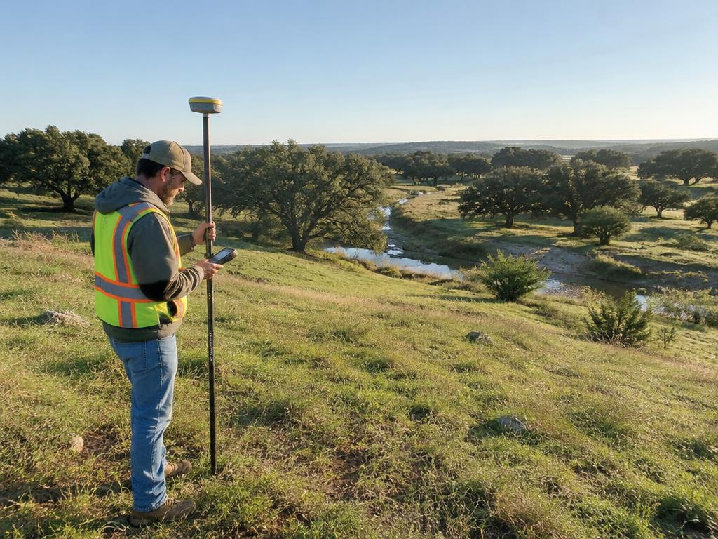 Engineer-ready CAD
Topographic Surveys
Using robotic total stations and RTK GNSS, we map elevations, contours, drainage, utilities and improvements so your design team works from real-world conditions — not guesswork.
Explore Topographic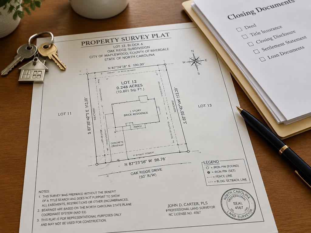 Title company favorite
Title & Closing Surveys
Built for real estate transactions: Category 1A surveys meeting Texas Society of Professional Surveyors standards, with T-47 coordination, easements from your title commitment, and delivery timed to your closing date.
Explore Title / Closing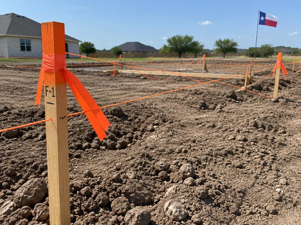 Scheduled to your pour
Construction Staking
From building corners and offsets to curb, utility and grade staking, our crews translate plans into points on the ground — fast, coordinated with your superintendent, and checked twice.
Explore Staking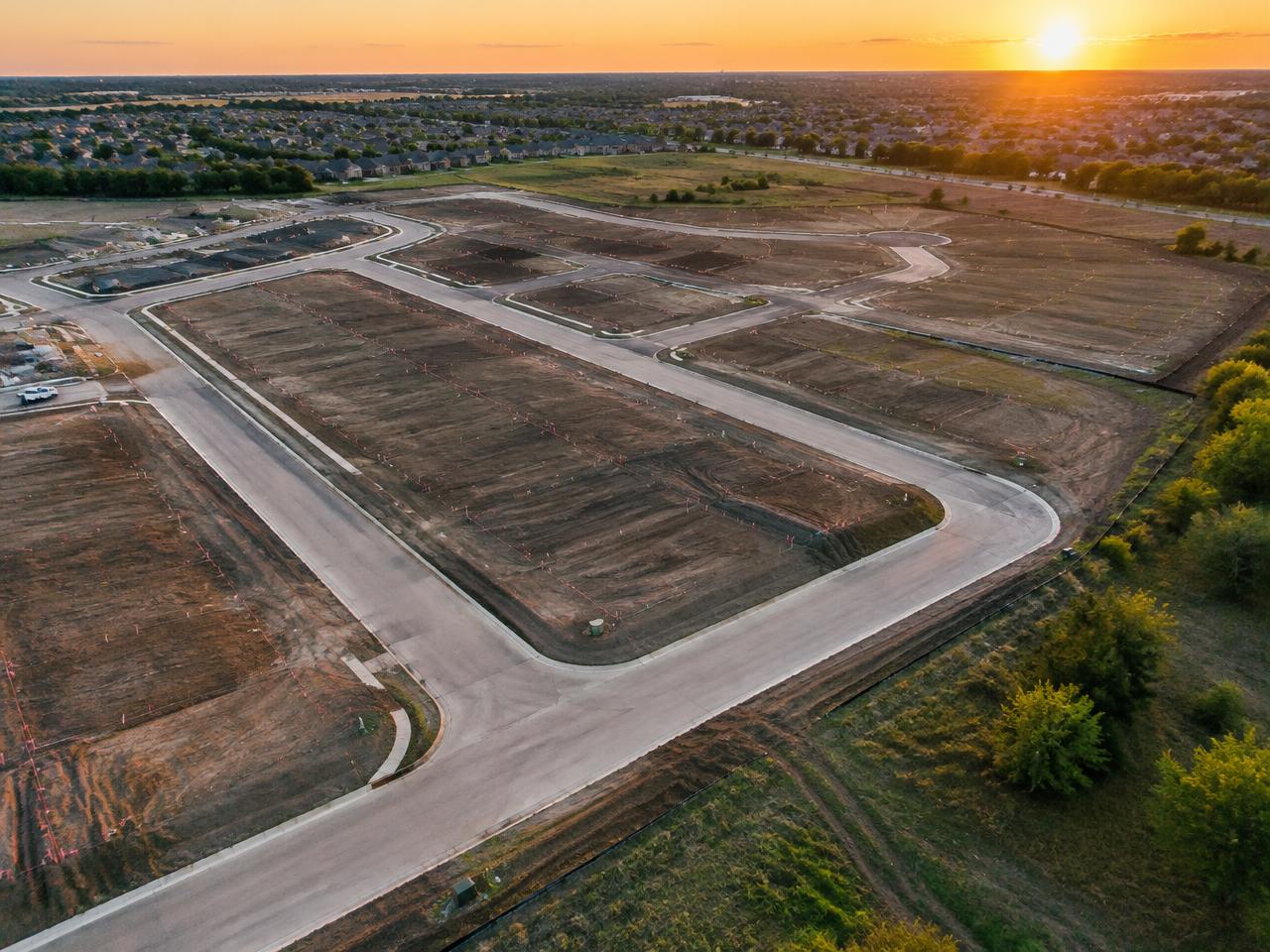 Through to recording
Platting & Subdivision
We prepare preliminary and final plats, replats and amending plats that meet city and county requirements, and shepherd them through review so your project gets recorded without costly back-and-forth.
Explore PlattingLicensed in Texas
Licensed to survey Limestone County.
Texas RPLS
TBPELS Firm No. 10194867
Regulated by TBPELS
Verify a Texas surveyor's license
Search the state roster to confirm any RPLS or firm is licensed and in good standing.
T-47 Residential Real Property Affidavit
The affidavit sellers sign so an existing survey can be reused at closing when nothing has changed.
FEMA Flood Map Service Center
Look up your property's flood zone and the current Flood Insurance Rate Map panel.
Looking up a Limestone County property? Our resources page links the Limestone County appraisal district.
Groesbeck survey FAQ
Questions from Groesbeck clients
Quick summary
SEES Land Surveying provides boundary, title/closing, topographic, construction staking and platting surveys in Groesbeck, Texas and throughout Limestone County, with free quotes in one business day.
Nearby service areas
Closing soon? Breaking ground?